First Day
The Regions4Climate Challenge Suite 2 (CS2) meeting was hosted from 21 to 22 June by the Estonian team in Pärnu, Estonia, welcoming partners and colleagues from Bulgaria, Estonia, Finland, and Denmark for two days of discussions, presentations, and field visits focused on climate adaptation and regional resilience.
The meeting officially began at the University of Tartu College in Pärnu, known as Estonia’s summer capital, with opening remarks from the local hosts. Representatives from the Estonian team highlighted the importance of the project for the region, explaining that despite Estonia’s limited sunny months, climate-related risks are becoming increasingly visible and require practical solutions to protect communities better.
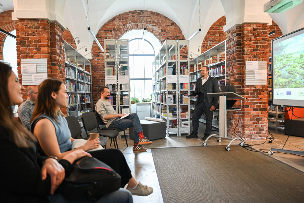
Erik Reinhold, CEO of Pärnumaa Arenduskeskus, described the initiative as the organisation’s first Horizon Europe project and stressed the importance of turning climate concerns into actionable local solutions. He noted that while security concerns currently dominate public discussions in Estonia, climate adaptation remains an important long-term priority for local authorities and citizens alike.
Following a short icebreaker session, the programme moved into technical presentations and collaborative workshops.
Digital Storytelling and Climate Visualisation
One of the first presentations was led by Marina from REVOLVE and Albina from VIA, focusing on communication, dissemination, and digital visualisation tools within Regions4Climate. The session introduced GIS StoryMaps and walkable photogrammetry, an innovative 3D mapping method capable of reconstructing real-world spaces using overlapping photos and video footage.
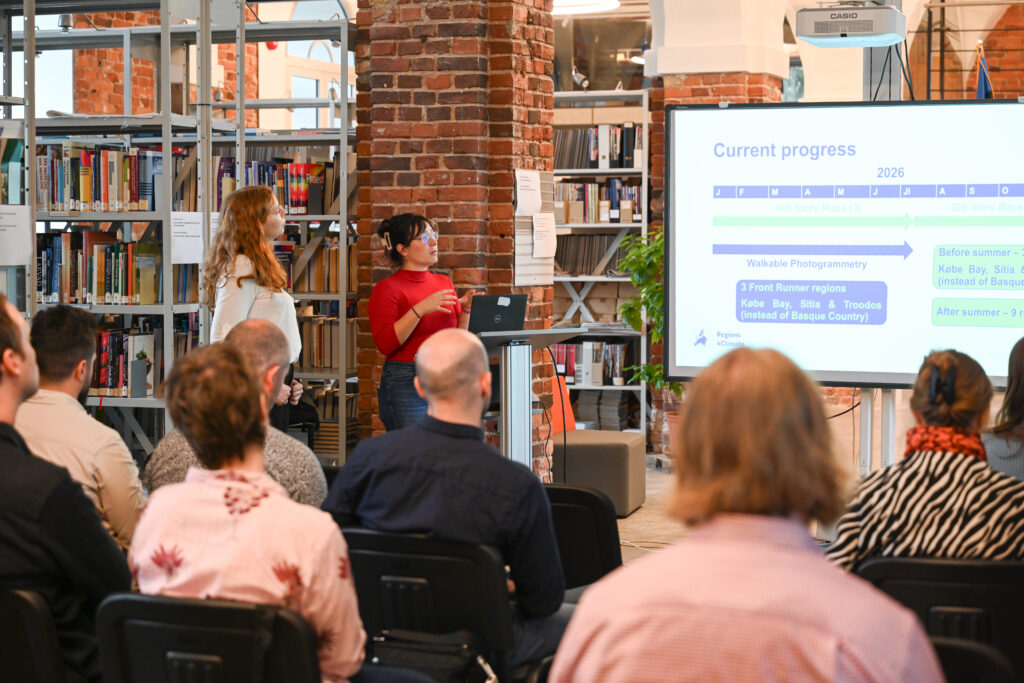
The regions of Køge Bay, Sitia, and Troodos will integrate photogrammetry into their activities, with Troodos acting as the test field for the approach. The process presented followed a clear pathway:
Climate Data → GIS → Storytelling → 3D Experience → Interactive Story Maps → Public Access and Replication
Participants also explored draft landing pages and discussed the next phase of the project’s digital communication strategy.
Understanding Landslide Risks in Pärnu
A significant part of the day focused on landslide risks in Pärnu and the surrounding region. Experts explained that the area has experienced landslides for more than a century due to a combination of weak clay soils, river erosion, steep underwater slopes, and human activity.
Presentations from Laur Palm, Architect at Pärnu City Government, and Diana Leppsoo, GIS Specialist at Pärnu City Government, demonstrated how scientific data is used in practice to guide urban planning and construction decisions.
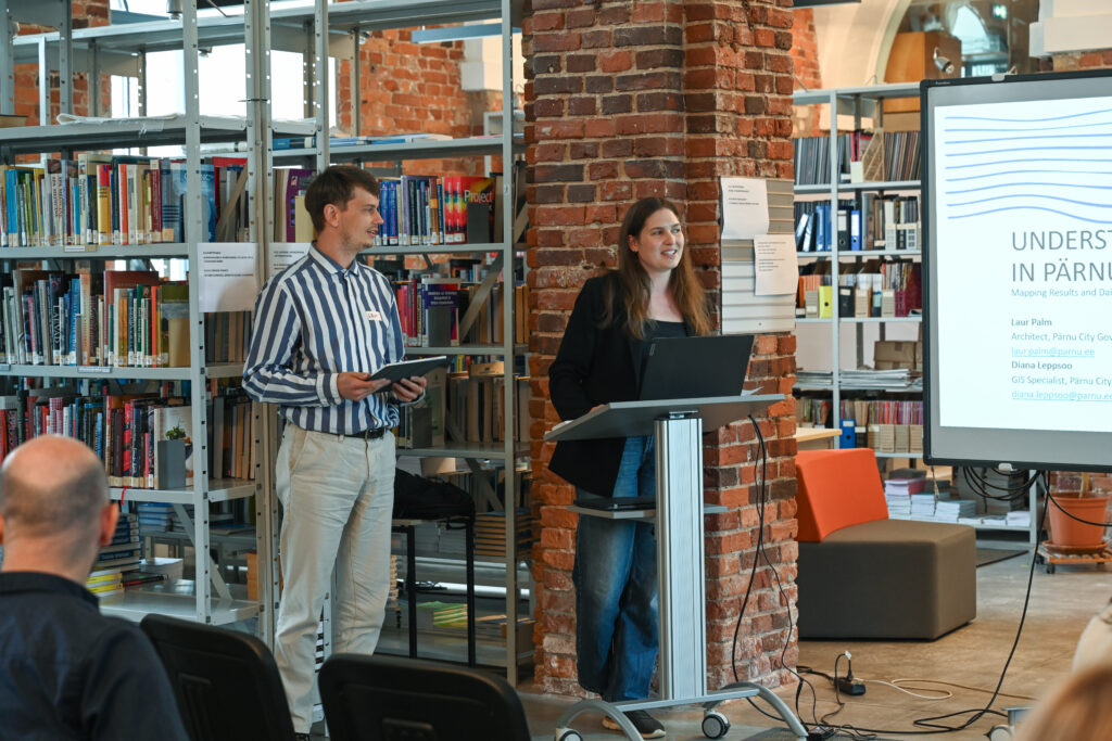
An interesting fact shared during the presentation was that Pärnu became almost the same geographical size as Berlin after Estonia’s 2017 land reform, despite having only around 52,000 inhabitants.
The experts highlighted that certain high-risk zones, such as areas in the village of Audru, are classified as unsuitable for construction due to landslide risks. They also stressed that respecting geological assessments and construction guidelines is essential to avoid future disasters and costly damage.
Field Visits Along the Coast and Riverside
In the afternoon, partners took part in several field visits to better understand the environmental challenges discussed during the presentations.
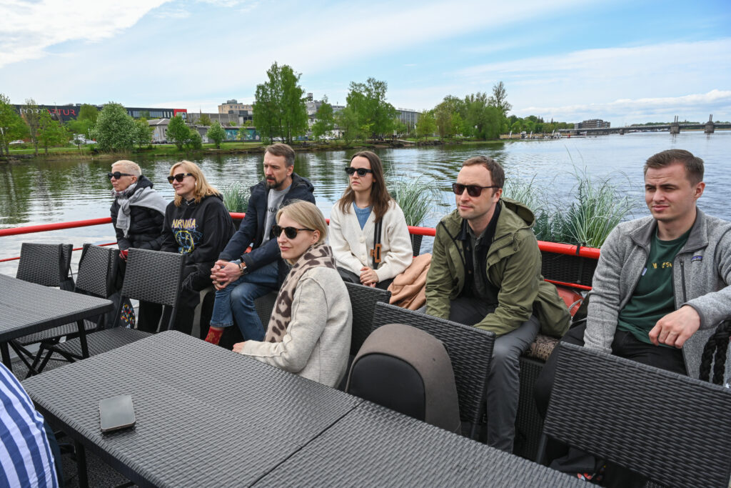
A boat cruise along the Pärnu River allowed participants to observe riverside developments and hear directly from a local landslide expert about the risks facing properties built near unstable slopes. The landslide expert referred to a major landslide event that occurred in 2022 and stressed the importance of conducting geological assessments before construction begins.
The group later travelled to Lottemaa, a coastal area affected by erosion. During a guided walk, experts explained that temporary coastal protection measures, such as adding rocks along the shoreline, often shift over time and create new challenges for both ecosystems and tourism activities.
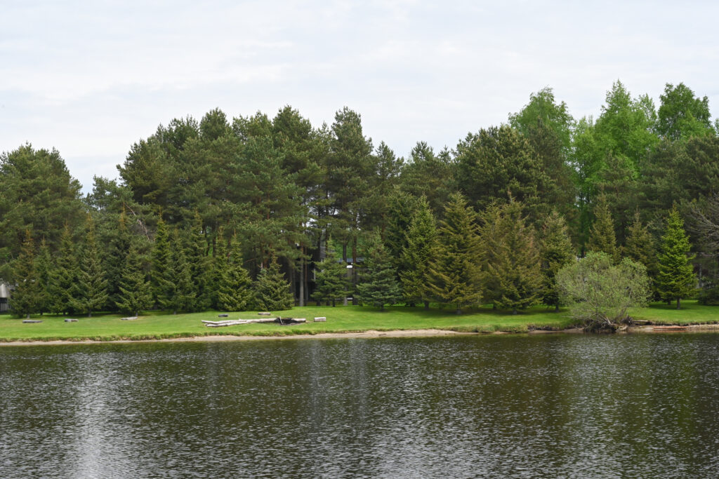
The final visit of the day took place at Luitemaa Nature Reserve, where participants explored wetlands, bird-rich habitats, and post-glacial sand dunes rising up to 35 metres high and covered in pine forests. The visit concluded with a walk along the reserve’s natural trail and observations from a birdwatching tower.
The first day ended with a networking dinner at Pärnu Bay Golf Links overlooking the sea, offering partners the opportunity to continue exchanges in a more informal setting.
Second Day
The second day of the Regions4Climate Challenge Suite 2 meeting began with a series of presentations dedicated to climate innovation, communication activities, and regional adaptation planning.
Climate Innovation Stories and Project Communication
The morning opened with a joint presentation by Thanasis, Regions4Climate Project Coordinator and Researcher, and Marina Vara, Communications Manager at REVOLVE. The session focused on the development of Climate Innovation Stories and the upcoming timetable of project deliverables.
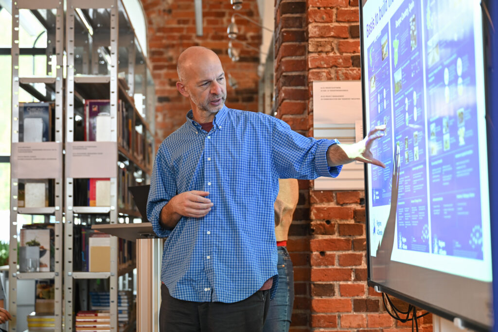
The communication and dissemination session also reviewed project progress, highlighting completed milestones and upcoming activities. Particular attention was given to the organisation of future events, with partners receiving guidance on potential formats and agenda development to ensure alignment with the project’s objectives and grant agreement requirements.
Exploring Smart Specialisation and Climate Innovation
The discussion then shifted towards Smart Specialisation Strategies (S3), presented by Maria Dubrovnik from VTT, where participants were divided into groups and invited to reflect on three key questions:
- How much experimentation currently exists in their region regarding policy, governance, and climate innovation?
- To what extent does Smart Specialisation guide climate adaptation efforts?
- What expectations do partners have regarding the project’s consolidated outputs and their contribution to future Smart Specialisation Strategies?
After the group discussions, participants shared their conclusions.
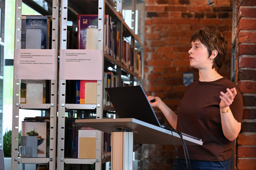
Representatives from Estonia emphasised the importance of understanding practical adaptation measures and highlighted the value of cooperation between regions facing similar climate challenges.
Other groups stressed the need for coherence at project level, realistic implementation pathways, and solutions that deliver tangible results while avoiding superficial or symbolic climate actions.
A Reality Check on Climate Planning
The following presentation was delivered by Antti Roose from the University of Tartu, who provided a reality check on regional and local climate planning in Estonia.
Using examples from across the country, he illustrated how climate risks can affect even specific areas of the city, like the “old” harbour of Parnu, which experienced flooding. Now, instead of the harbour, a new building was built on top of it with modern techniques to prevent that in the future.
The presentation also highlighted differences in local governance capacities, noting that Tartu remains the only municipality in Estonia with a dedicated full-time climate officer.
Mapping Urban Heat Risks in Pärnu
A major focus of the afternoon was the presentation of Pärnu’s Urban Heat Island (UHI) mapping and modelling activities.
As Estonia’s summer capital, Pärnu is particularly exposed to increasing urban heat stress. Researchers and city representatives presented several methods used to map and model heat distribution across the city, helping planners better understand which neighbourhoods are most vulnerable.
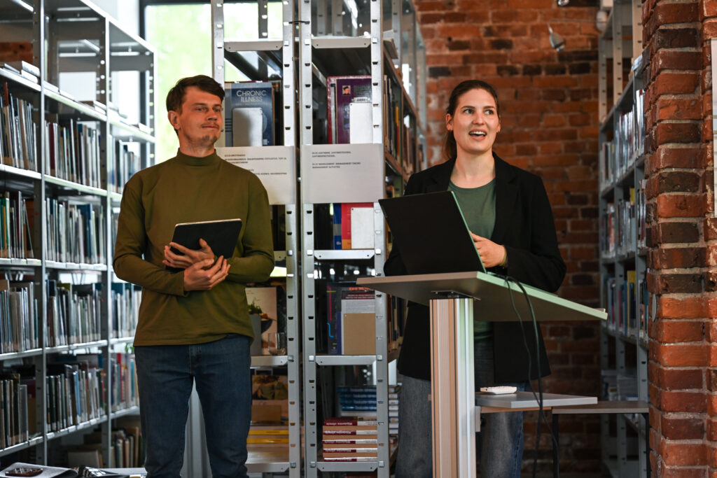
The analysis combines spatial data, climate modelling, and urban design approaches to identify hotspots and support evidence-based adaptation measures. Participants also learned about urban planning solutions already being tested, including street design concepts that aim to reduce heat accumulation and improve thermal comfort.
A key message emerging from the session was that nature-based solutions, while highly effective, require long-term planning and investment before their full benefits become visible.
The next phase of the work will focus on finalising the Urban Heat Island modelling results and enriching them with social vulnerability data. This will help identify not only where heat risks are highest, but also which communities are most exposed and sensitive to those risks.
Integrating this information into everyday planning and decision-making processes will be essential for building climate resilience across the city and region. The findings are also expected to help raise awareness among local stakeholders and support future investment in adaptation measures.
Speakers further highlighted the need to update traditional urban design principles that no longer adequately address current climate realities. Expanding green infrastructure and implementing nature-based solutions, particularly in high-risk areas, will play a crucial role in reducing heat exposure and improving quality of life for residents and visitors alike.
Discovering Pärnu’s Green Urban Heritage
The day concluded with a guided tour through the historic centre of Pärnu, offering participants a practical perspective on how urban planning, heritage, and green infrastructure intersect within the city.
The visit began at the city’s medieval defence tower, commonly known as the Red Tower. Although originally built from red bricks and later painted white, the structure has retained its historic name and remains one of Pärnu’s most recognisable landmarks.
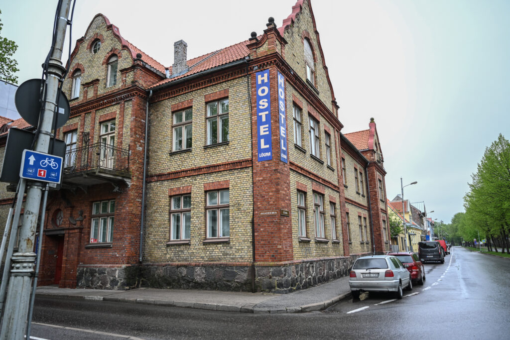
Participants then visited Koidula Park, named after Estonia’s celebrated poet Lydia Koidula. The park occupies a site that was once used as a city dumping ground before being transformed into a public green space.
The tour continued through Brackmann Park, dedicated to Oskar Brackmann, Pärnu’s longest-serving mayor. Elected in 1879, Brackmann played a pivotal role in shaping the city into the resort destination it is today. Recognising the value of green spaces for urban wellbeing, he invited landscape gardeners from Riga and initiated the planning of many of Pärnu’s parks and tree-lined streets.
Known for his personal commitment to cleanliness and public order, Brackmann was reportedly famous for collecting litter during his daily walks and carrying it away in his own pockets. His dedication earned him widespread respect among residents, and despite his wish for a modest funeral, thousands of citizens gathered to pay their respects following his death.
The tour also showcased one of Pärnu’s recently renovated streets, illustrating how contemporary urban design principles are being combined with climate adaptation measures. Existing birch trees were preserved where possible, while diseased specimens were replaced through a comprehensive soil renewal programme. The project also included raising the street level and installing advanced drainage systems to better manage stormwater.
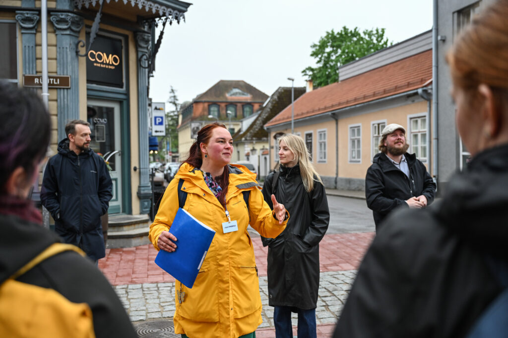
Innovative design features were incorporated throughout the redevelopment. Cobblestones were placed only in the centre of the roadway to naturally slow vehicle traffic while maintaining comfortable cycling conditions. Public benches include integrated wireless phone charging stations, and the paving pattern itself serves a functional purpose. Fully grey paving indicates areas where restaurants and businesses may expand outdoor terraces, while mixed grey-and-white paving clearly identifies pedestrian zones.
The tour provided a fitting conclusion to two days of discussions and site visits, demonstrating how climate adaptation, urban planning, and community wellbeing can be brought together through both long-term vision and practical action.
The Challenge Suite 2 meeting in Pärnu highlighted the importance of collaboration between regions facing diverse climate challenges.
By combining scientific expertise, local knowledge, innovative communication tools, and practical field experience, partners continue to build a stronger foundation for climate resilience across Europe.