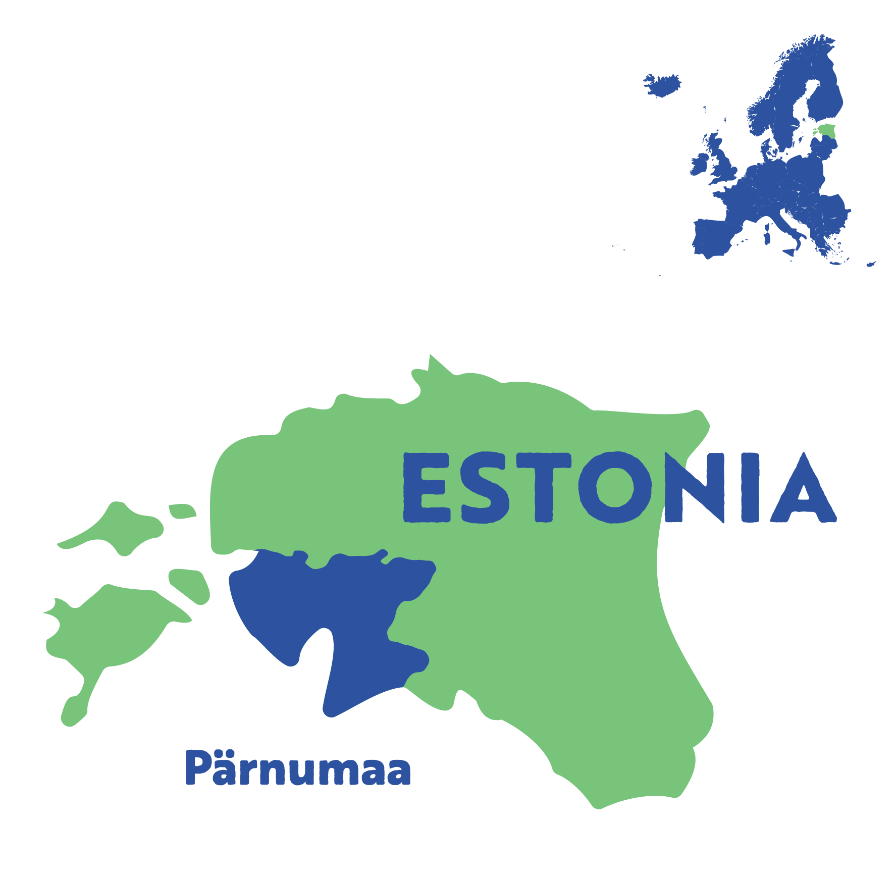
REGIONs4CLIMATE / Resilient Regions / Pärnumaa
Challenges and solutions
As a coastal area, Pärnu Country will be affected by storm-induced floods and erosion, directly dependent on the global sea level rise, severity of winter storms and decline of winter ice coverage.
The water level of the Pärnu River decreases very quickly. The movement of groundwater on the slopes and additional stress on the soil as a result of construction activities may lead to landslides.
The country will be implementing resilience in urban and landslide risk area planning, design and tools to mitigate the urban heat island effect.
Pärnu River in Sindi.
Source: Viktor Tund
Pärnumaa has committed to

Improving spatial and land use planning to reduce the urban heat island effect

Using engineering and nature-based solutions to prevent landslides

Protecting the environment and ensuring communities can adapt
Several innovative actions
Social
Implementing evidence-based innovations to improve urban planning and modelling.
The modelling tool is expected to support decision-making and give citizens a better understanding of the outcomes of poor landscape planning and climate change.
Digital twin presentation in Helsinki.
Source: Toomas Toodu
Environmental
Providing data-driven high-resolution urban heat island modelling to offer possible mitigation opportunities for the region.
Updating and improving maps and assessments of landslide risks in watersheds to make better decisions and plans.
Pärnu River in Tori.
Source: Viktor Tund
Economic
Showing the financial benefits of using evidence-based tools to plan for climate resilience in development projects.
Creating models for strong and adaptable transportation solutions, like the Rail Baltic Development area.
SEI weather sensors.
Source: Andreas Hoy
Policy and governance
Improving the process of designing cities and planning land use by using digital tools and information-based models. This helps integrate policies and make cities and regions more resilient to social and environmental changes.
Focusing on urban planning and regional development to create policies that can adapt to and address climate challenges.
Digital twin tool developed in cooperation with the City of Helsinki Planning Department, the Helsinki-Uusimaa Regional Council, and Forum Virium Helsinki.
Source: Toomas Toodu
Smarter Adaptation Challenge Suite
Pärnumaa is part of the Smarter Adaptation Challenge Suite, whose frontrunner region is Køge Bay. The Challenge Suite recognises that innovative digital tools can help to illustrate the effects of climate change.
With a focus on gathering the latest data from diverse sources, the region can bridge the science-stakeholder-policy gap, raise citizen awareness and improve the use of existing data.
In the press
03/10/2024
Kuumasaare mõju leevendamiseks rajati Kaubamajaka parklasse kõrghaljastusega rohesaared
25/03/2024
Pärnus tutvustatakse ulatuslikku maalihete uuringut
Discover the other regions in the
Smarter Adaptation Challenge Suite
All Regions4Climate regions