
Køge Bay: Towards a Resilient Coastal Landscape
Overview
Overview
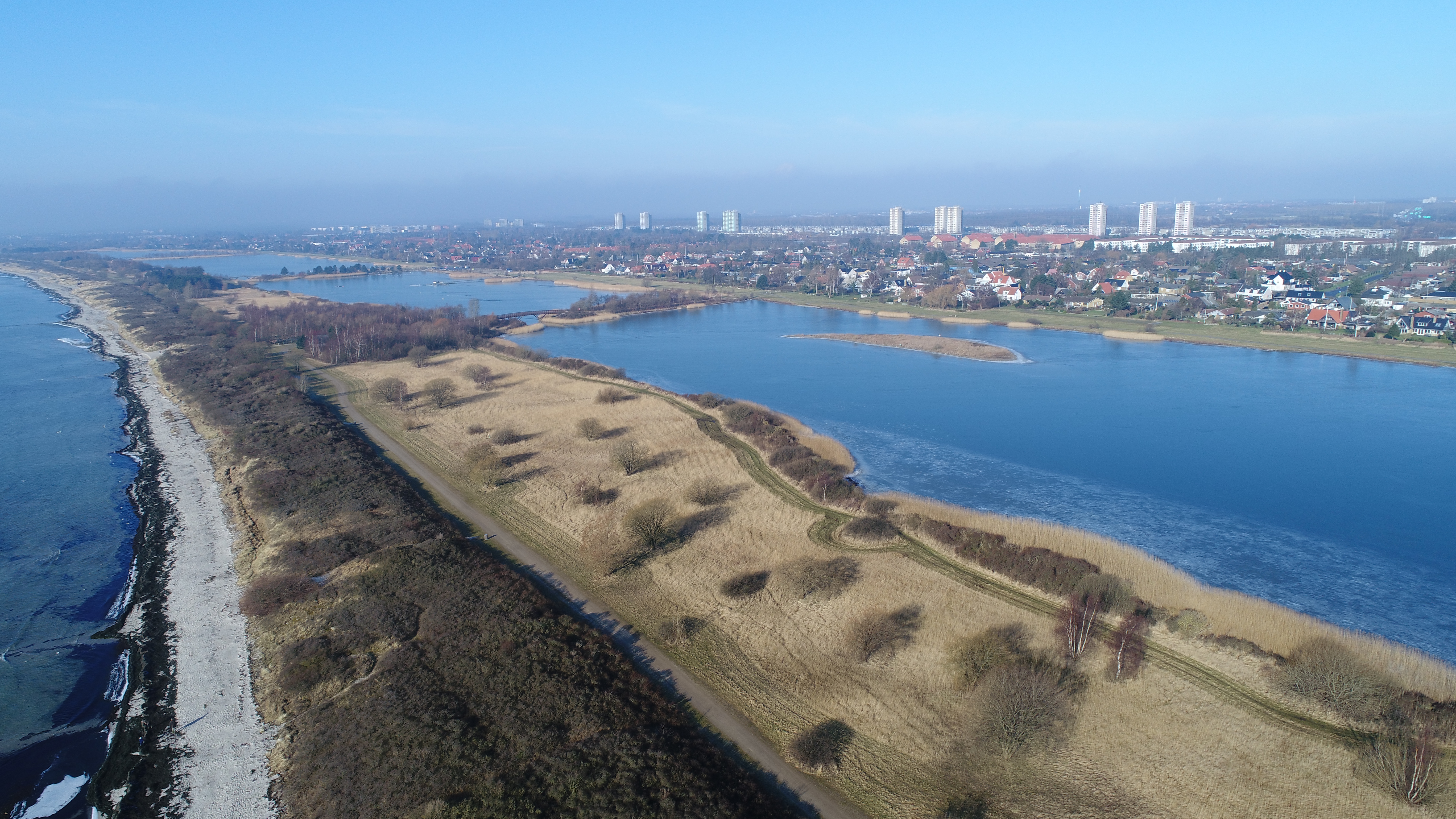
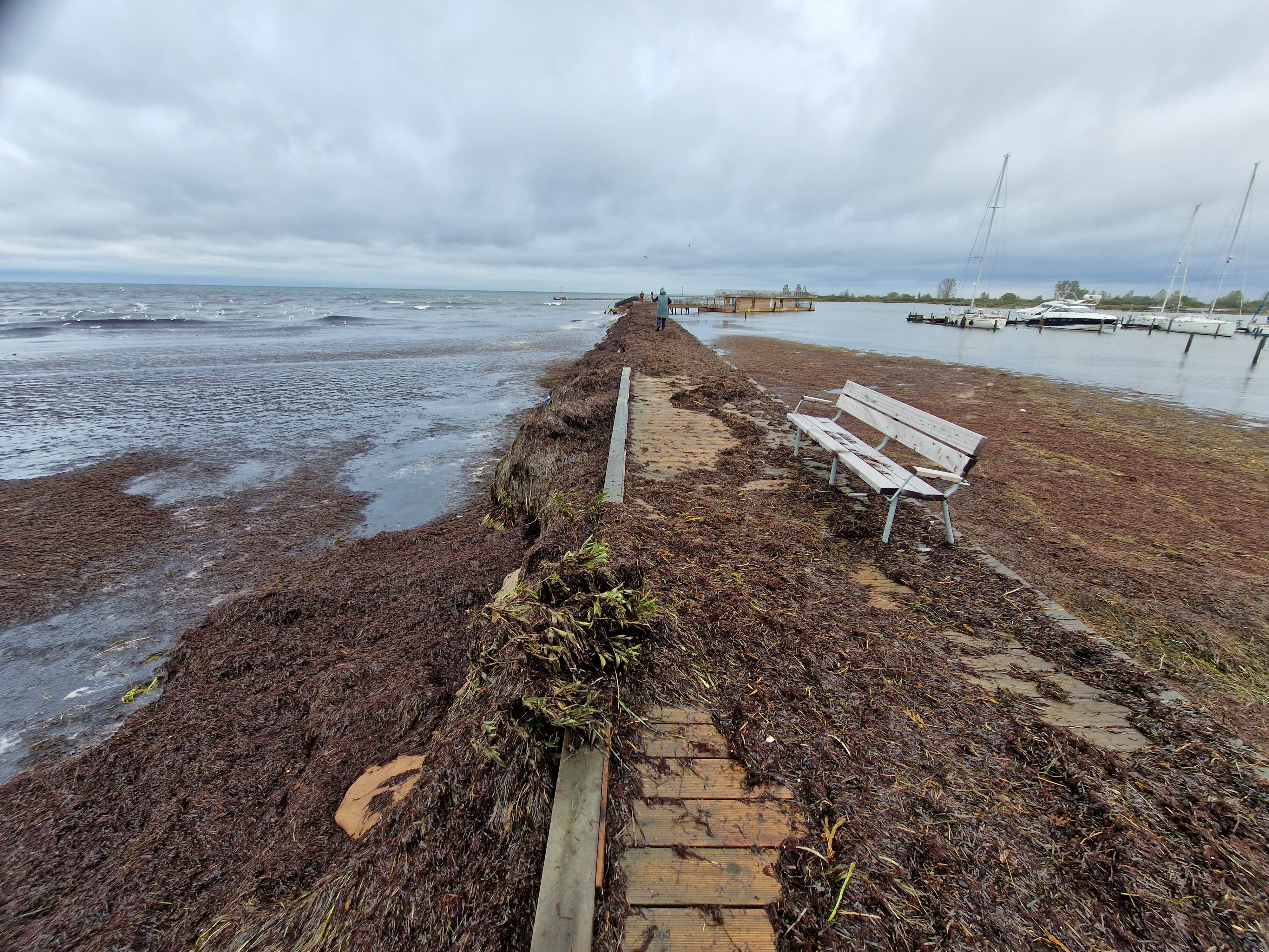
Køge Bay is a densely populated, low-lying coastal region south of Copenhagen, Denmark that is increasingly vulnerable to flooding under climate change. The area holds significant geographical and economic importance, with extensive urban development and critical infrastructure.
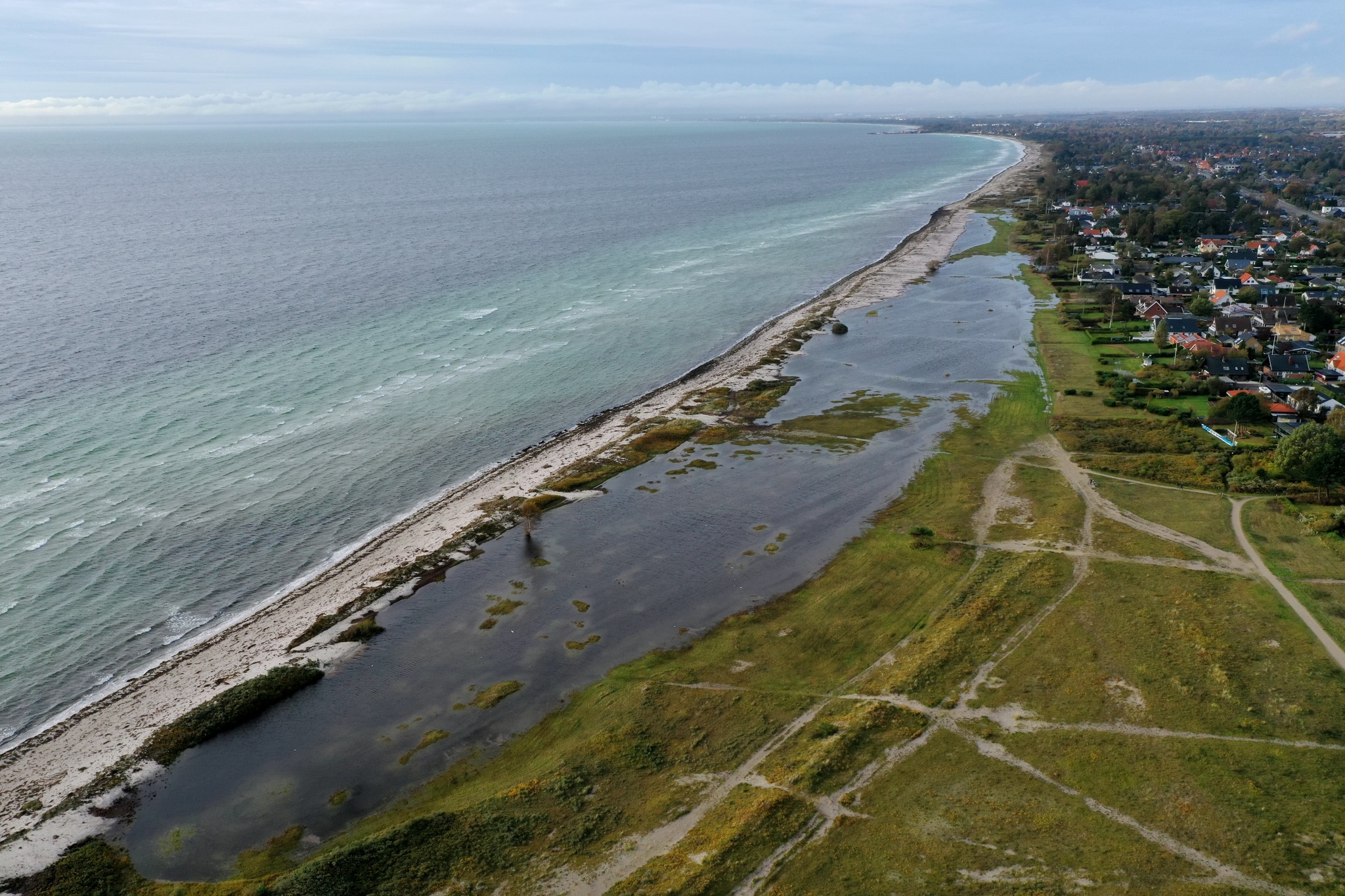
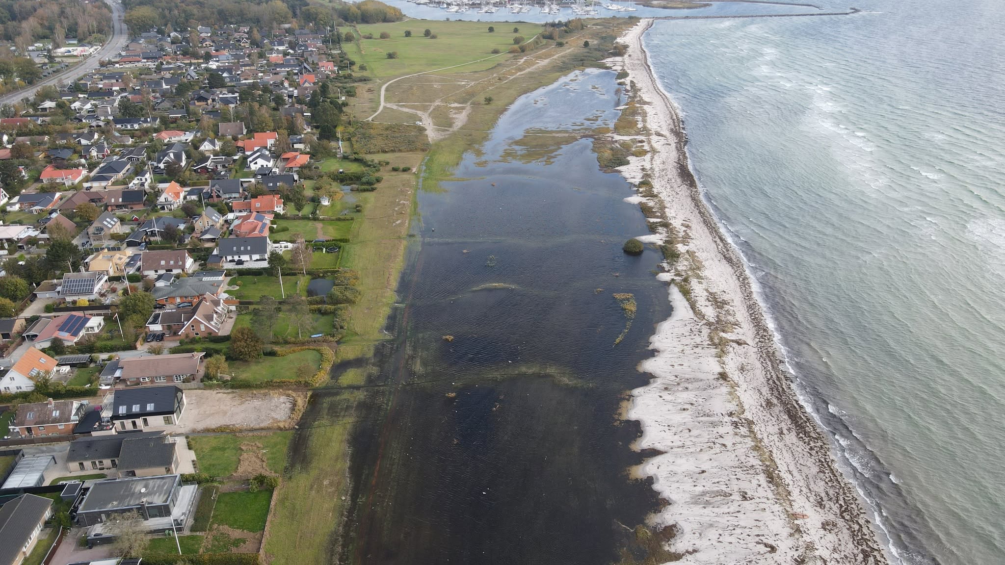
Future climate conditions are expected to increase flood risk through rising sea levels, more powerful storm surges, more frequent and intense precipitation events, and elevated groundwater tables, placing growing pressure on existing systems.
Challenge
The Challenge of Flooding
Vulnerability
Where flood exposure is already visible
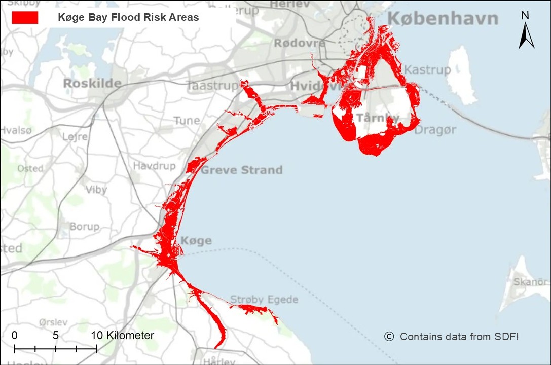
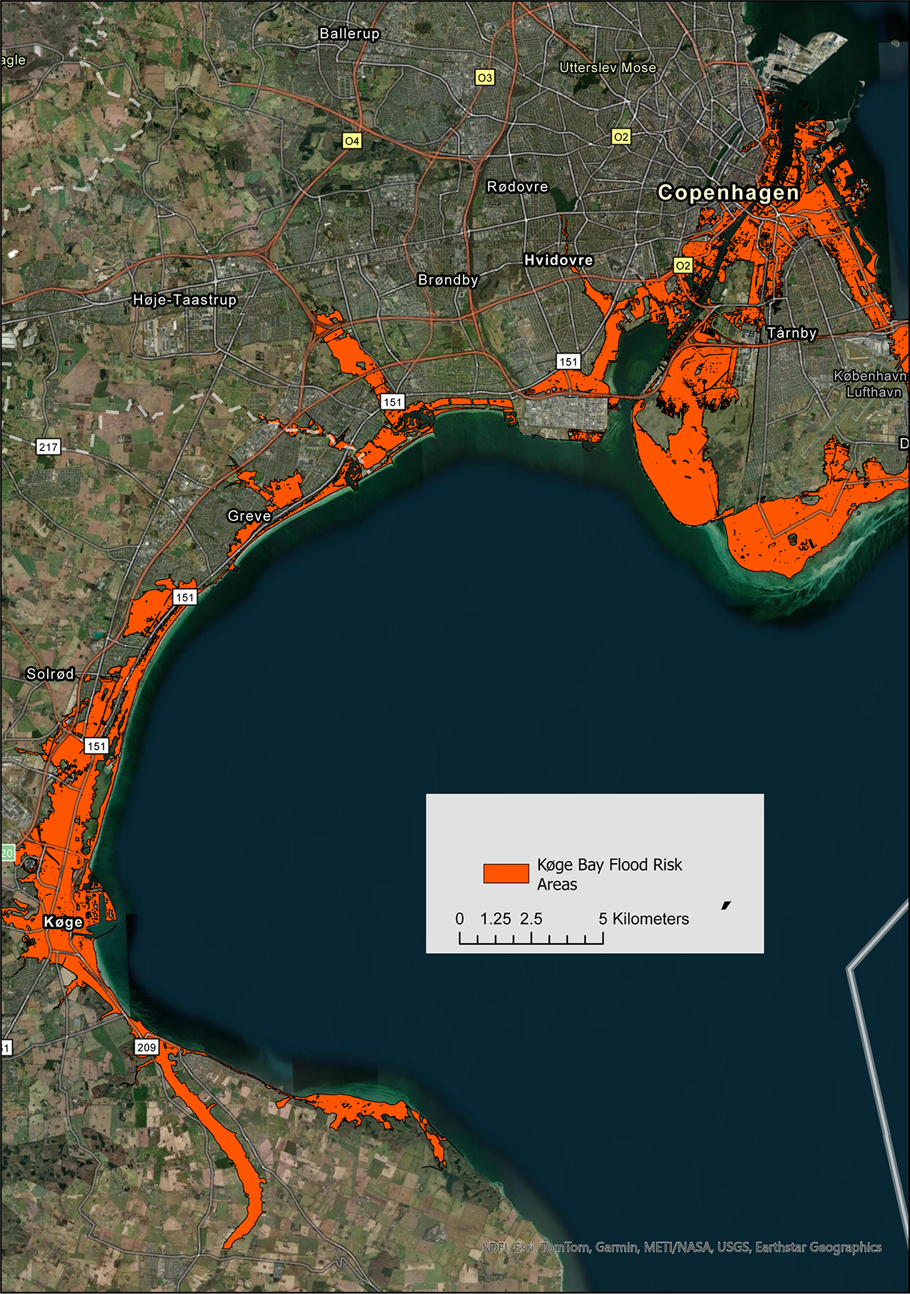
The flood risk map highlights how much of the bay contains exposed low-lying areas. Risk is not concentrated in a single site; it follows the urbanised waterfront and affects several connected municipalities and coastal zones.
This evidence layer is the starting point for selecting where adaptation measures, demonstrations, and fieldwork can create the most value.
Copernicus CMIP6
Køge Bay regional risk layer
Loading Copernicus climate layers...
Explore
Explore the landscape in 3D
Illustration by design studio Vandkunsten for Køge Municipality.
Adaptation
Adaptation Strategies
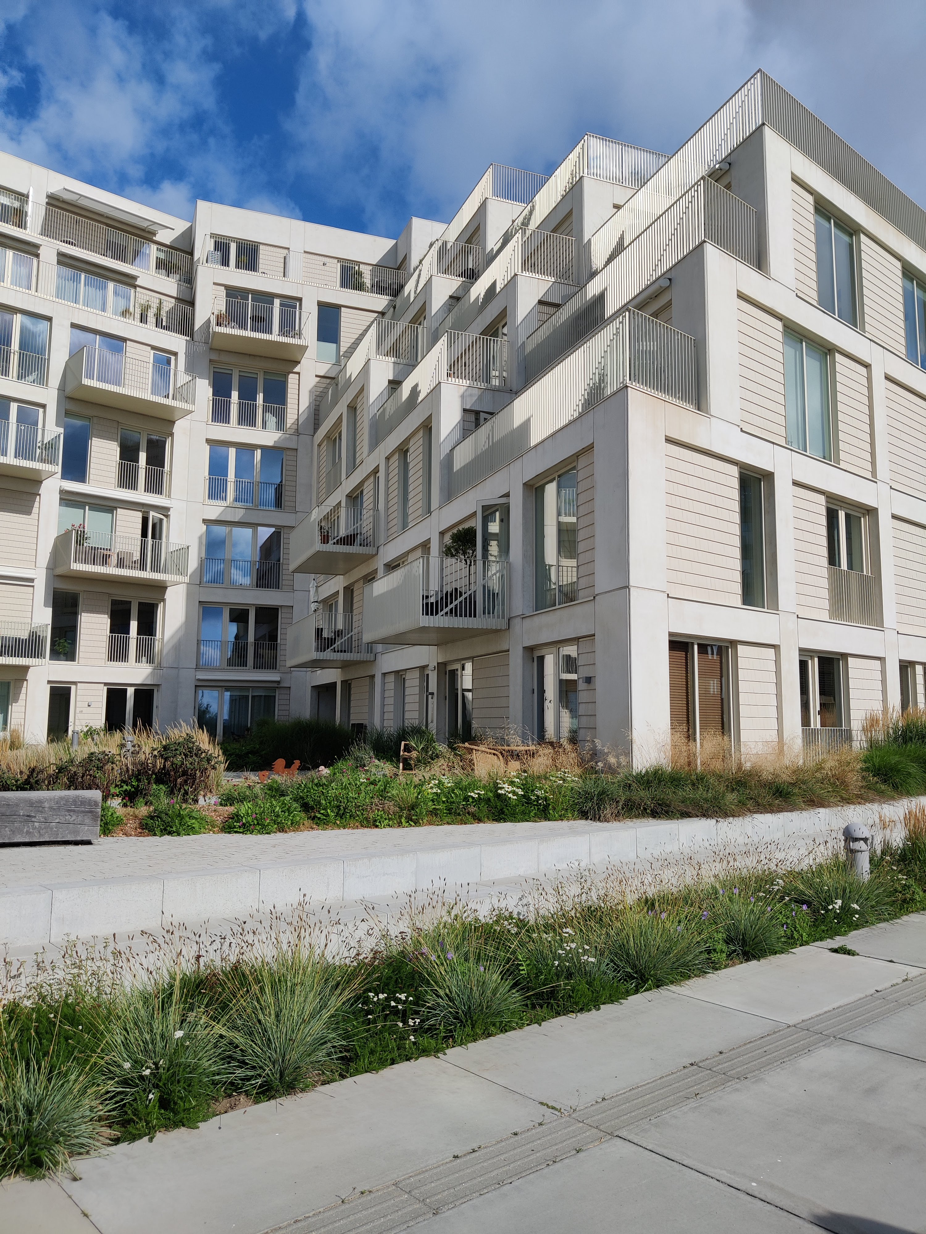
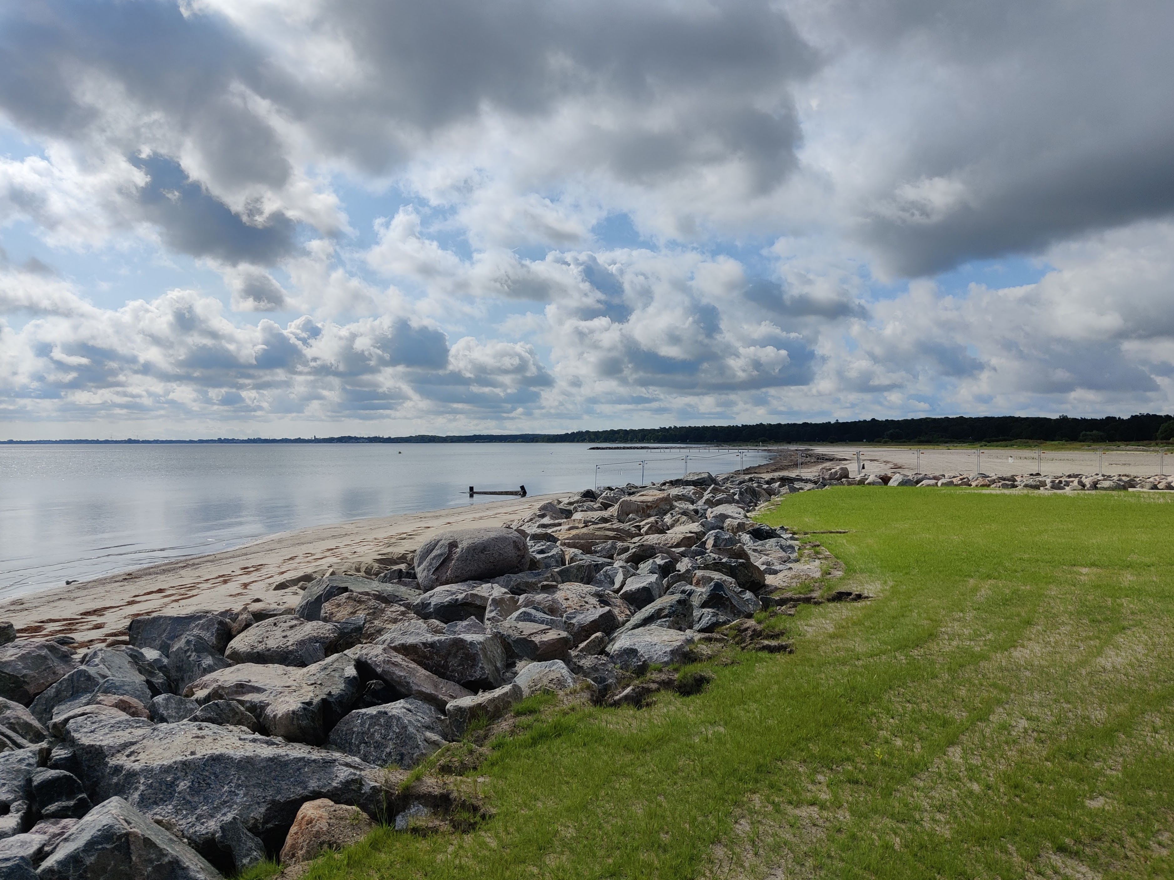
Flood risk in Køge Bugt is addressed through a combination of engineered and nature-based solutions. Traditional flood defence measures such as dikes, and storm surge barriers provide protection against coastal flooding and extreme water levels.
Increasingly blue green infrastructure such as wetlands, retention basins, and green urban spaces help manage stormwater by storing, infiltrating, and slowly releasing water.
Hybrid approaches increase flexibility and can provide additional benefits, including improved biodiversity, recreation, and urban livability.
Monitoring
Warning Systems & Monitoring Tools
Preparedness and response to extreme events in Køge Bugt rely on integrated monitoring and early warning systems operated by national and local authorities. The Danish Meteorological Institute provides weather forecasts and storm surge warnings, while GEUS monitors groundwater conditions across the region.
At the local level, utilities such as HOFOR operate real-time control systems for pumps and drainage infrastructure. These are supported by rainfall radar, water level sensors, and forecasting models, enabling timely actions such as activating pumps, deploying barriers, and issuing public warnings.
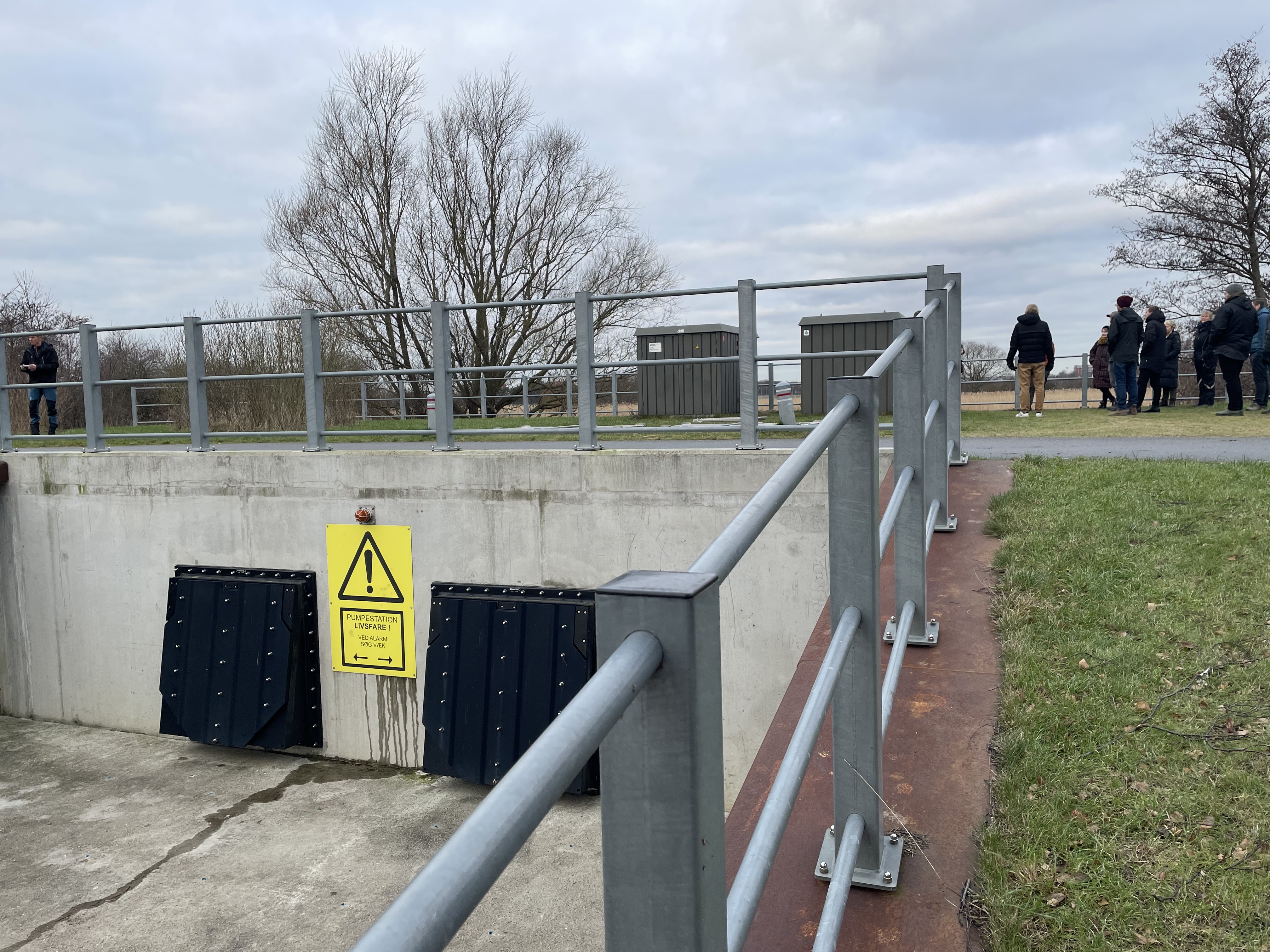
GIS
GIS interactive map
Loading GIS data from the Køge Bay map package.
Future
Future directions
Climate adaptation in Køge Bay is already progressing through large-scale coastal protection projects, notably the Køge Dike. This project will establish a continuous coastal defence system including dikes, flood walls, sluices, and a storm surge gate designed to protect low-lying urban areas and approximately 22,000 residents from future storm surge events.
Køge Municipality’s climate adaptation planning emphasizes a more integrated approach to water management, addressing rainfall, sea level rise, and groundwater as interconnected challenges. This includes the use of green elements such as urban vegetation and landscape-based solutions to retain water and improve local climate conditions.
Looking ahead, there is strong potential to further combine engineered protection with nature-based and multifunctional landscape approaches that enhance livability, support ecosystems, and ensure that climate adaptation measures are broadly beneficial across communities.
The Køge Bay region includes many low-lying areas at high risk of flooding (highlighted in orange).
Work within the Regions4Climate project has focused on climate adaptation under four main themes:
Augmented Reality Visualizations
Mental Well-being
Just Transitions
Multifunctional Coastal Landscapes
Key geographic areas for each of the themes are outlined on the map.
Video